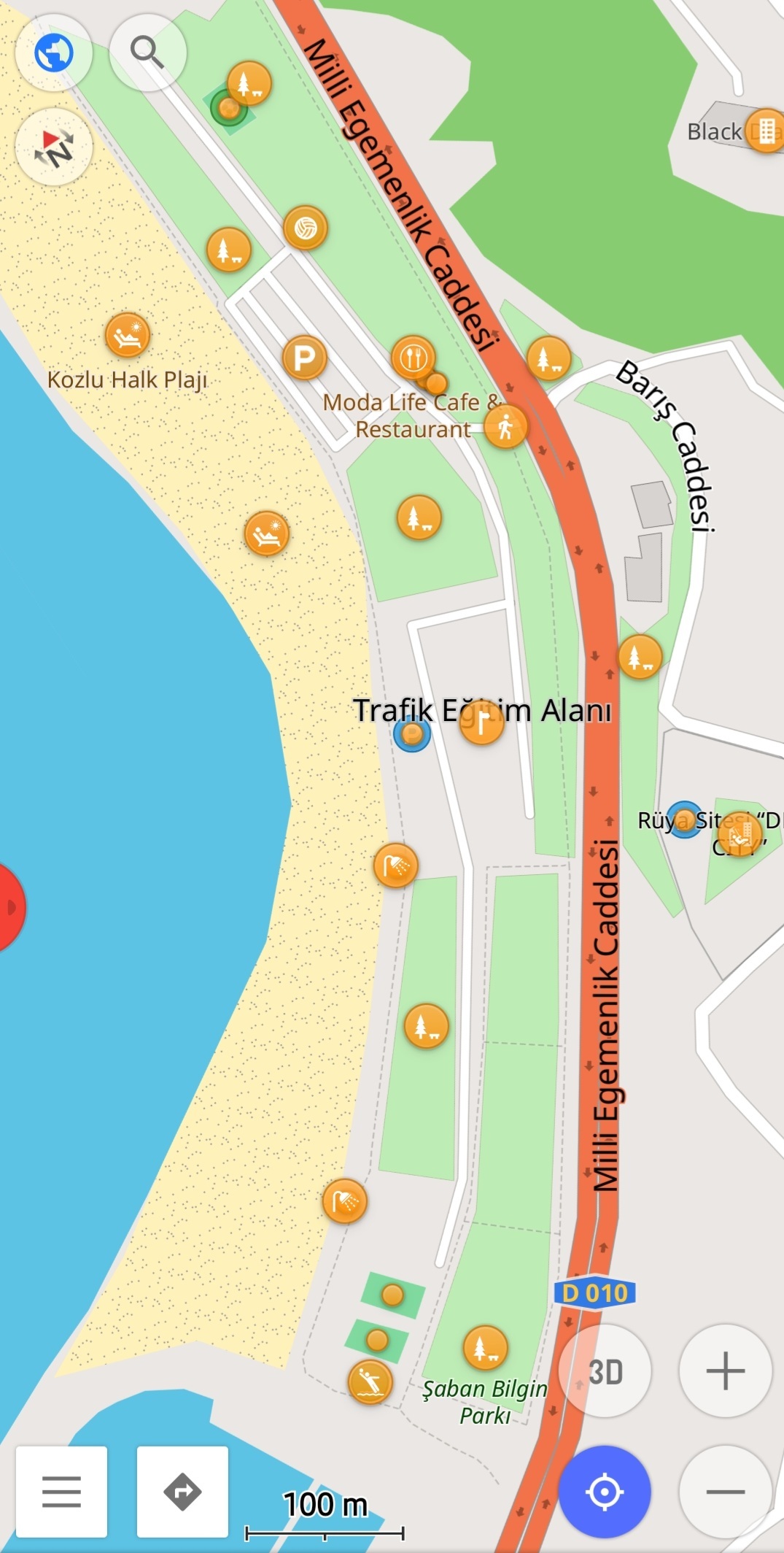
It hasn’t been a week since I met OSM and Osmand. And I created all the beaches in a city from scratch. I added the important points in detail with their labels. I took long walks and it was fun.

You are viewing a single thread.
View all comments View context
16 points

Why would it be a plot twist, it’s called armchair mapping, and the most common way of mapping

I have some random spots in the world where I draw buildings and paths regularly. I have no irl connection with them, I just randomly zoomed there once and bookmarked it. There is something relaxing, zen like feeling when you just trace houses and paths. Never intend to go there, but it’s nice to create something. Maybe one day a guy will wonder who the hell draw his village in South Kongo, and why is it much more detailed than the regional capital

permalink
report
parent
reply
1 point
*
1 point

There are no beaches in Denver

permalink
report
parent
reply
4 points

There are 4 beaches mapped in Denver: https://overpass-turbo.eu/s/1OEQ

permalink
report
parent
reply
2 points

*smile widens fearfully, and head shakes imperceptibly left and right*

permalink
report
parent
reply

OpenStreetMap community

!openstreetmap@lemmy.ml

Create post

Everything #OpenStreetMap related is welcome: software releases, showing of your work, questions about how to tag something, as long as it has to do with OpenStreetMap or OpenStreetMap-related software.

OpenStreetMap is a map of the world, created by people like you and free to use under an open license.

Join OpenStreetMap and start mapping: https://www.openstreetmap.org/.

There are many communication channels about OSM, many organized around a certain country or region. Discover them on https://openstreetmap.community/

https://mapcomplete.org/ is an easy-to-use website to view, edit and add points (such as shops, restaurants and others)

https://learnosm.org/en/ has a lot of information for beginners too.

Community stats

  • 199

    Monthly active users

  • 337

    Posts

  • 2K

    Comments